-
Notifications
You must be signed in to change notification settings - Fork 1
Peter Desmet edited this page Dec 4, 2024
·
16 revisions
- QA by: Baptiste Schmid (BS), Cecilia Nilsson (CN)
- Data evaluated:
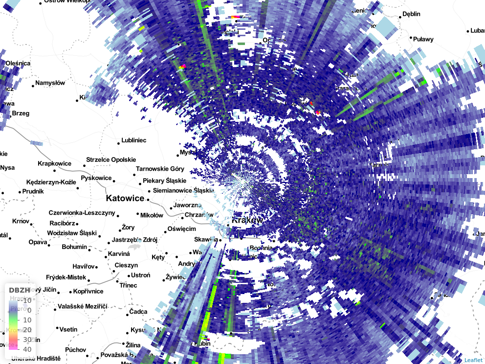
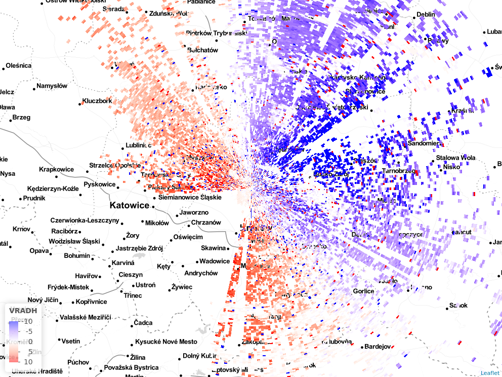
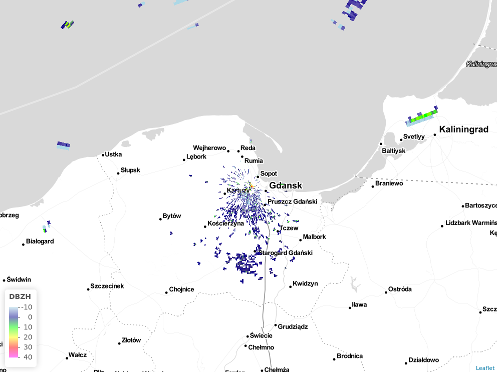
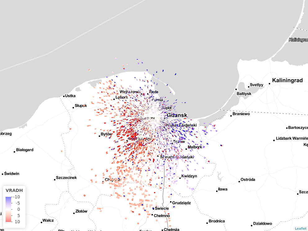
BALTRAD 2019-09-24 - 2019-10-31 /BS19
BALTRAD 2012 - 2017 /CN22 & BS22
- BALTRAD 2019: Limited height range from ground to 200 or 400 m a.g.l (all radars but
plleg), or to max. 1000 m agl (plleg). Forplleg, holes occur due tosd_vpp_threshold, and possibly for other reasons too. Bird density frompllegis low. /BS19. - BALTRAD 2012-2017: Limited time range available, 2016-10-24 - 2017-11-24. Looks like there might be ok bird data, but only 2-4 height bins available per radar, and none higher than 1000m. /CN22 & BS22
0: not available, 1: available, 2: poor quality, 3: good quality
| param | quality | remarks |
|---|---|---|
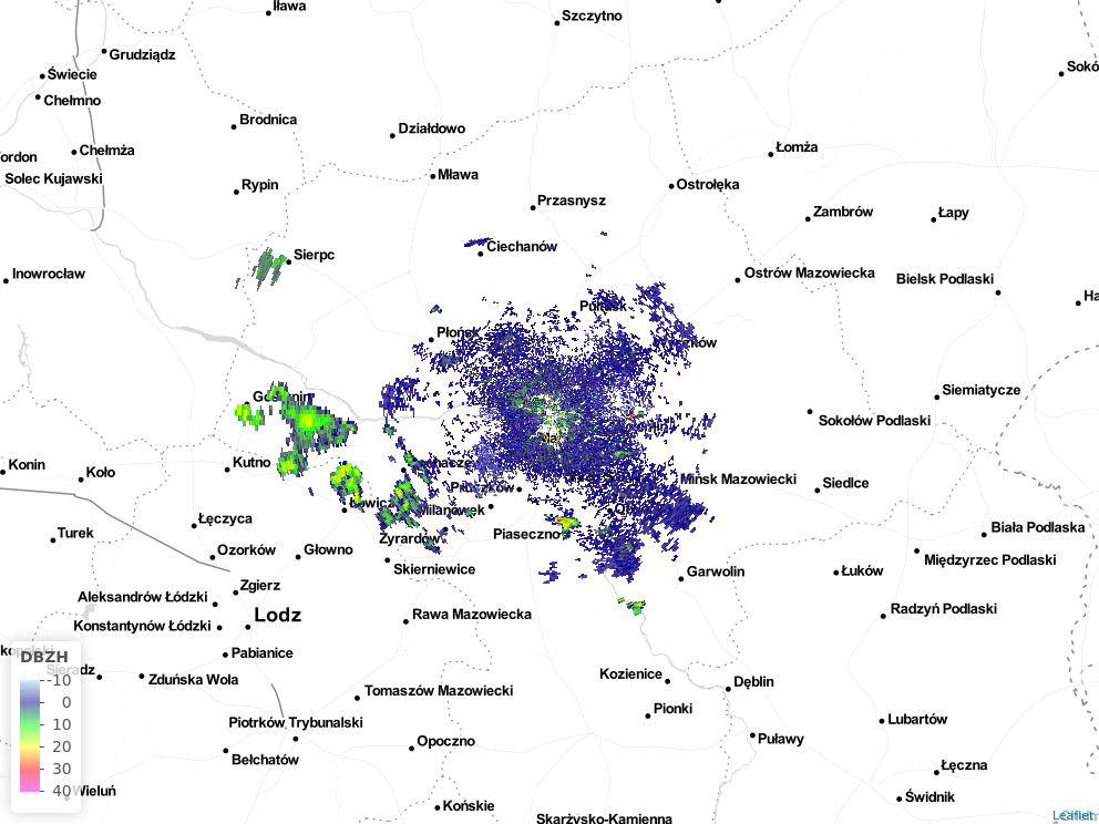
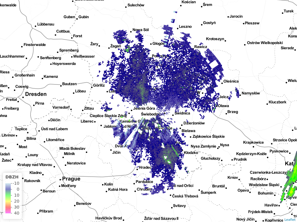
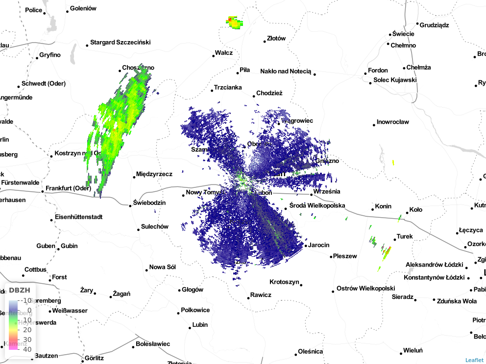
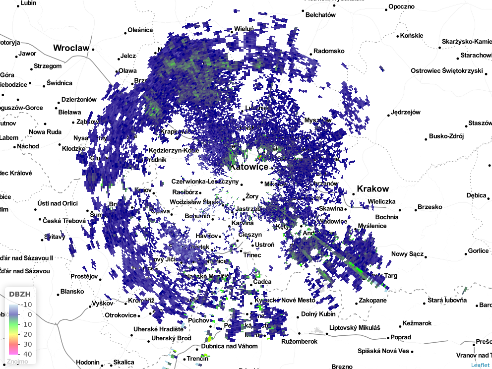
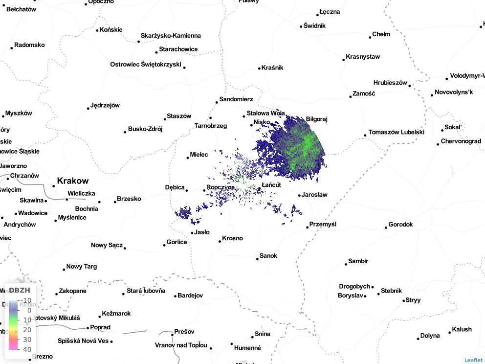
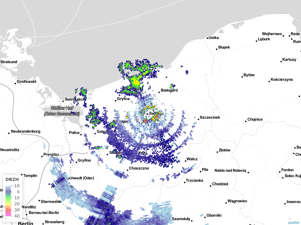
| DBZH | 1 | |
| TH | 0 | |
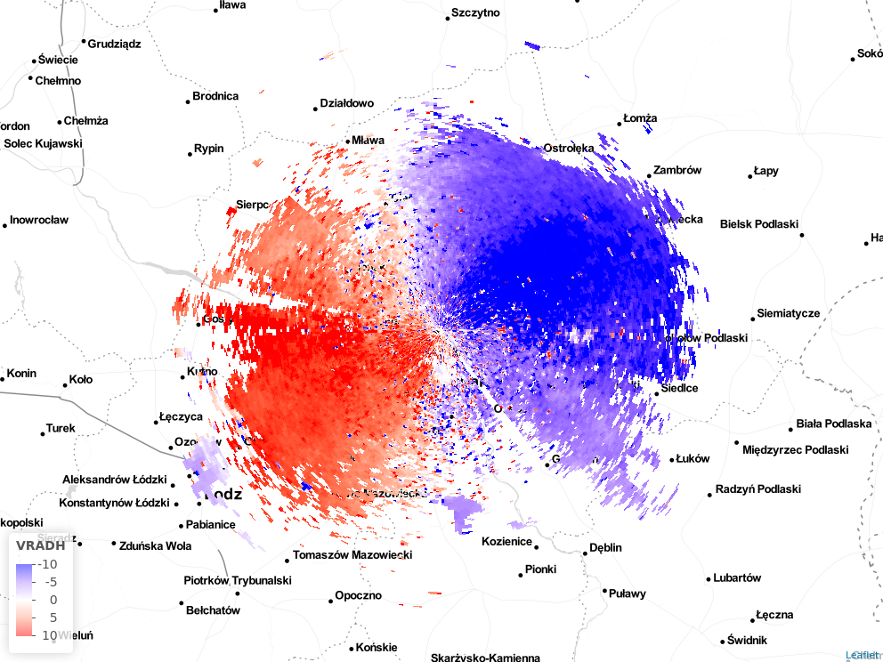
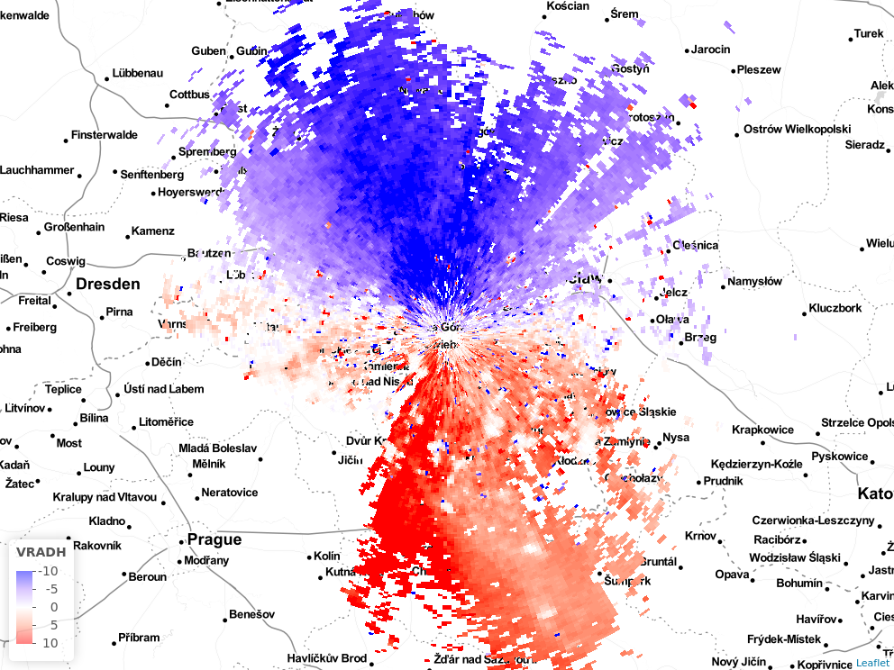
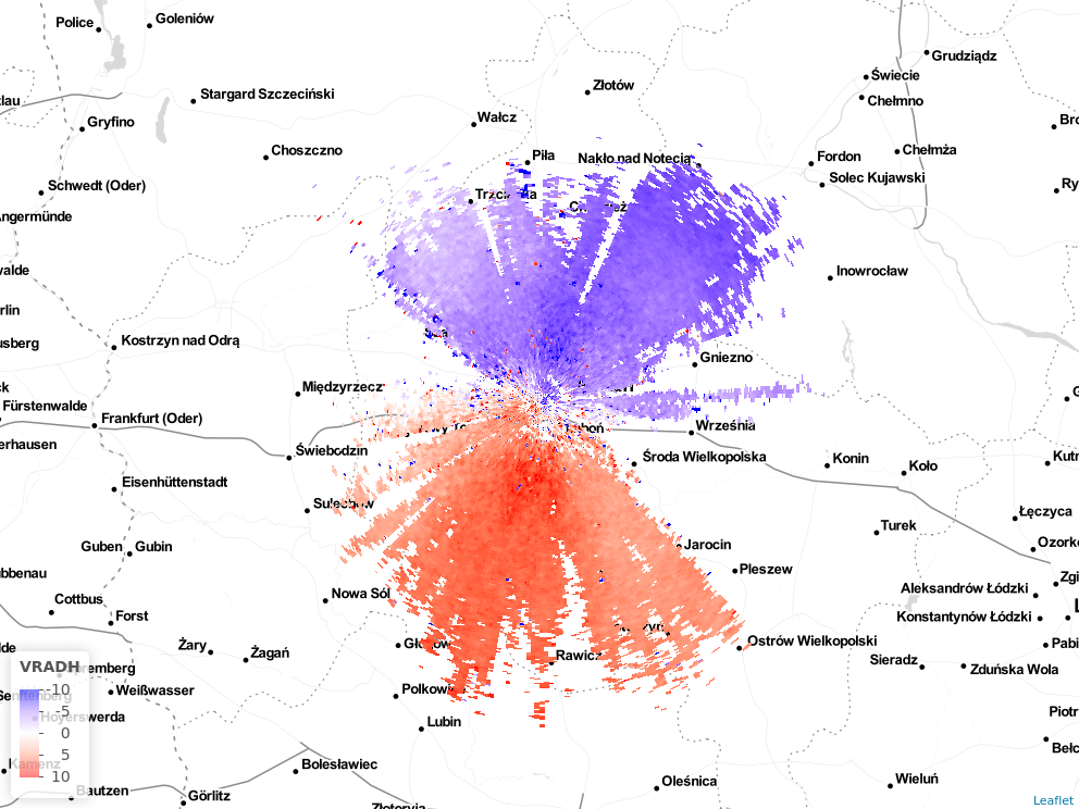
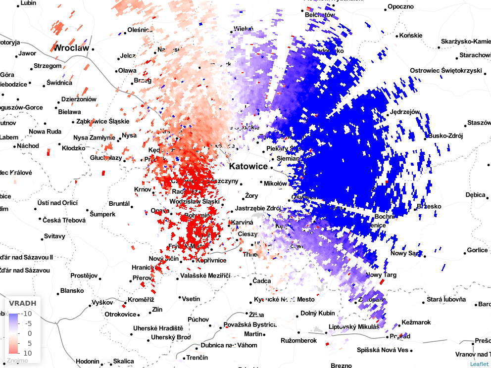
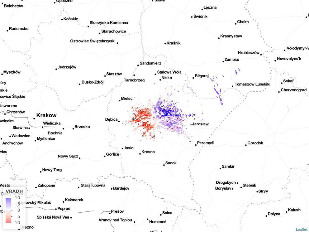
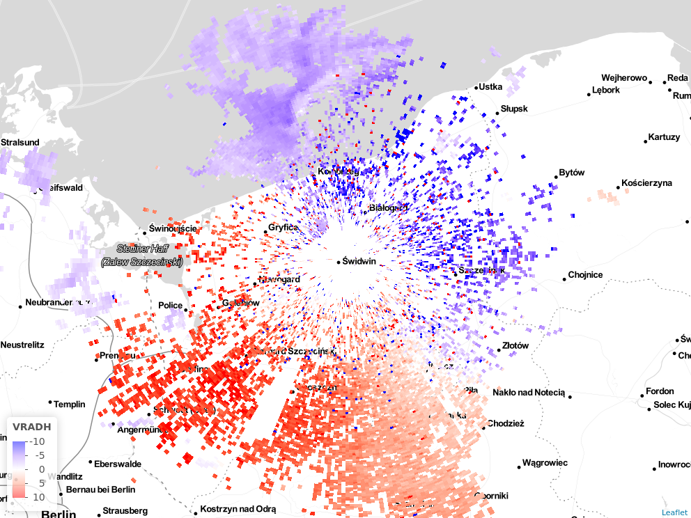
| VRADH | 1 | |
| CCORH | 0 | |
| RHOHV | 0 | |
| PHIDP | 0 | |
| ZDR | 0 |
| scan.number | how.highprf | how.lowprf | where.elangle | where.nbins | where.nrays | where.rscale | params |
|---|
| radar | type | radar end date | remarks |
|---|---|---|---|
| plbrz | C | active | |
| plgda | C | active | |
| plleg | C | active | |
| plpas | C | active | |
| plpoz | C | active | |
| plram | C | active | |
| plrze | C | active | |
| plswi | C | active |
Radar data quality assessment - Contact Peter Desmet if you want to make contributions to this wiki.